Pictish Mystic · Lore · Picts
Burghead: The Great Fort of the Bulls
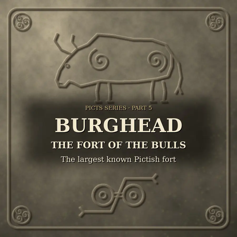
On a sandstone headland pushing out into the Moray Firth stood the largest known fort of the Picts. Burghead, called the Broch by the people who live there now, gave us the famous carved bulls, a rock-cut chamber that nobody can fully explain, and ramparts so well preserved by fire that their oak beams can still be dated. This is part 5 of our Picts series. As always, history, legend and scholarly debate are kept apart, and the sources are named.
History (The Headland and Its Ramparts)
Burghead fort sits on a promontory in Moray, about 8 to 18 metres above sea level, with water on three sides. Gordon Noble of the University of Aberdeen estimates it originally covered about 5.5 hectares, far larger than any other known Pictish fort. Inside were two parts: an upper citadel and a lower one (also called the upper and lower wards). Across the landward neck ran three great banks and ditches.
The ramparts were timber-laced: a framework of oak beams held with iron spikes and nails, faced with stone. For a long time this was compared with the continental murus gallicus, but Ian Ralston and others now see it as part of a native tradition of timber-laced building in early medieval Scotland (Edwards and Ralston, PSAS 109).
In the lower citadel the Aberdeen team uncovered a timber-laced wall that would have stood more than six metres high. The oak planks set in the wall had burned in place, and the charring preserved them in remarkable detail.
History (The Destruction of 1805 to 1809)
Most of the fort was lost between 1805 and 1809, when the planned village and harbour of Burghead were built across it. More than half the site was levelled, and the three outer ramparts were largely built over. Our best picture of the whole defensive system is still the plan drawn by General William Roy, published in 1793.
Hugh W. Young dug at Burghead in the 1890s and recorded how complex the defences were. Alastair Small excavated in the 1960s (published 1969), and Kevin Edwards and Ian Ralston published new radiocarbon dates and pollen evidence in 1978.
Today the Doorie Hill is the one surviving fragment of the eastern rampart system, and lengths of the northern and western ramparts can still be seen.
History (The Burghead Bulls)
Accounts speak of up to about 30 slabs, each incised with a single bull, found while the ramparts were demolished. Most were broken up or packed into the new harbour quays. Only six survive: two in the Burghead Visitor Centre, two in Elgin Museum, one in the National Museum of Scotland and one in the British Museum. They are usually dated to the 7th or late 6th century.
Their stories are as interesting as the carvings. Burghead 1 was found while the ramparts were being quarried in 1809. Christine Clerk's study for the Moray Field Club, Burghead bulls: the final roundup (2023), traces each surviving bull. One was drawn by the naturalist James de Carle Sowerby from a paper cast, the drawing shown to the Society of Antiquaries of London in 1809, and Sowerby gave that bull to the British Museum in 1861. Another stood for years in the Elgin garden of the antiquarian James Milne before his son gave it to Elgin Museum. A third passed to Sir Thomas Dick Lauder, then to the Northern Institution in Inverness, sat in a solicitor's garden, and reached the national museum in Edinburgh in 1891. Others were found in the packing of the south pier during railway works in 1862, and when a house on South Quay was demolished in 1867.
Burghead has also produced later carved fragments, including pieces of 8th to 9th century cross-slabs and probable stone shrines, one with a bearded horseman carrying a shield and spear.
History (The Well)
In 1809, while looking for a water supply for the new village, workers cleared a green hollow inside the fort, after an old tradition of a well there. They found a rock-cut chamber about 5 metres square and 4 metres high, reached by a flight of steps, with a cistern about 3 metres square, a pedestal in one corner and a basin cut into another. The cistern was deepened with explosives and the present entrance and roof were added. Finds reported from the clearance include a stone head and a stone with a cross and knot carving. Historic Environment Scotland treats a report that a bull stone came from the well as unsubstantiated. The well is now in the care of Historic Environment Scotland.
History (Life Inside and the End)
Excavations by Gordon Noble's team since 2015, with the Burghead Headland Trust and Aberdeenshire Council Archaeology Service, found that much more survived beneath the 19th-century rubble than anyone expected. They found a Pictish longhouse with a stone-built hearth at one end, rare evidence of Pictish domestic architecture.
From the floor layer and midden came two Anglo-Saxon coins of Alfred the Great (reigned 871 to 899). Both had been pierced, perhaps to be worn. Noble put it simply: in a non-monetary economy, the people of the fort literally wore their wealth. Other finds include a sword hilt, dress pins and hairpins, iron tools and metalworking waste.
Over 40 radiocarbon dates now show the fort was occupied from at least the 6th century AD and destroyed by fire in the 10th century, when the Pictish realm had become the Gaelic kingdom of Alba. Historic Environment Scotland's statement of significance places the inner fort between the 4th and 6th centuries and the destruction around AD 900, and suggests Burghead may have been a royal centre and naval base.
Burghead lies in the heartland that many scholars now give to Fortriu, the most powerful Pictish kingdom. The Picts themselves carried the old British name of the Pretani, or Priteni, the people of Prydain.
Legend (Local Tradition and Fire on the Doorie Hill)
Local tradition says the Vikings destroyed the fort. The fire is real; who set it is not recorded.
Every 11 January, old New Year's Eve by the Julian calendar, the people of Burghead carry the Clavie, a burning half-barrel of staves and tar on a pole, around the old town and up to a stone altar on the Doorie Hill, on the fort's surviving rampart. Embers are handed out for luck. The earliest written record, in the Presbytery of Elgin minutes for 11 January 1655, describes fir torches; the word clavie isn't used. In 1689, in church records quoted by W.D.H. Sellar, the young men were rebuked by the church for blessing the boats after the old heathen custom. Brochers link the fire with the Pictish fort above them. That link is a cherished tradition, not a proven fact.
Debate (Roman Camp, Viking Battle or Pictish Stronghold?)
For centuries Burghead was thought to be Roman. William Roy drew it as a Roman station, partly because of De Situ Britanniae, the 18th-century forgery of Charles Bertram, which invented a Roman town called Ptoroton at the mouth of the Varar. James Macdonald asked in 1891 whether Burghead was Ptolemy's Winged Camp (Pinnata Castra). Excavation shows no Roman fort: Burghead is Pictish.
Older writers also tied it to Torfness, where the Orkneyinga saga sets Thorfinn's battle with Karl Hundason. Some place Torfness at Burghead, others elsewhere along the Moray Firth coast. The question is open.
What were the bulls for? Gordon Noble (2019) sets out three readings: badges of power set on the ramparts, a votive frieze for a fertility cult, or stones lining a processional way through the gates, which would suit their likely kite shape. The well is just as open: a water supply, a shrine to water spirits, a place of ritual execution by drowning, or an early Christian baptistery. Historic Environment Scotland thinks the most plausible answer is a Pictish cult place later taken over for Christian use.
And when were the ramparts built? Dates range from the 3rd to the 6th century depending on the samples and the study. The new dates from the burned oak are expected to settle more of the sequence.
Sources
Primary and archaeological:
- The Burghead bull stones (Burghead 1 to 6) and the later cross-slab fragments; Canmore records by Anna Ritchie (2017).
- General William Roy, Military Antiquities of the Romans in Britain (1793), plan of Burghead.
- Records of the Presbytery of Elgin, 11 January 1655 (fire custom).
- Historic Environment Scotland, Burghead Well Statement of Significance (2019); scheduling SM2205.
- University of Aberdeen news and Current Archaeology reports on the excavations from 2015.
Scholarship:
- James Macdonald, Historical Notices of the Broch or Burghead, PSAS 4 (1860s), and Is Burghead the Winged Camp of Ptolemy?, Archaeological Journal (1891).
- Hugh W. Young, papers on the ramparts and well (1890s).
- Alastair Small, report on the 1960s excavations (1969).
- Kevin Edwards and Ian Ralston, New dating and environmental evidence from Burghead Fort, Moray, PSAS 109 (1978).
- Gordon Noble, Fortified settlement in northern Pictland, in Noble and Evans (eds), The King in the North (2019).
- Gordon Noble and Nicholas Evans, Picts: Scourge of Rome, Rulers of the North (2022).
- Christine Clerk, Burghead bulls: the final roundup, Moray Field Club (2023).
- W.D.H. Sellar (ed.), Moray: Province and People (1993).
- Alan Montgomery on Bertram's forgery (Edinburgh University Press, 2020).
History, legend and scholarly debate are marked separately in the headings above.
First shared on X @dalriada36963.
Read in the Pictish Mystic app · Draw a free Pictish rune reading